4.37
from 3.7.2026
 Czech
Czech
European Waterways Routable Map for Garmin Receivers
I will be grateful for any comments to improve the map and also for links to other Electronic Navigational Charts
or their updates.
Zdeněk Hrdina (hrd at email dot cz)
| Current version: 4.37 from 3.7.2026 Czech
|
European Waterways Routable Map for Garmin ReceiversI will be grateful for any comments to improve the map and also for links to other Electronic Navigational Charts
or their updates.
|
|
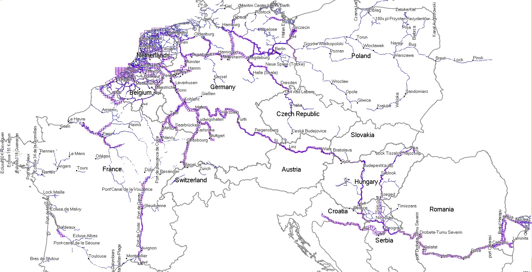
CoverageIn the current version there are the iENC maps of the Czech Republic (324 km), Slovakia (172 km), Austria (398 km), Germany (4982 km), Bulgaria (239 km), Romania (1194 km), Serbia (830 km), Belgium (1457 km), Switzerland (21 km), Hungary (320 km), Croatia (408 km), the Netherlands (5963 km), France (1681 km) and Poland (83 km). In total cca 18032 km.The iENC maps cover obviously only a minority of navigable rivers and canals in Europe (it is said 45 000 km). Therefore I have added lines of other waterways (from different sources). The total lenght of routable rivers and canals in "Waterways" is exactly 46 693 km nowadays and you can see them in the picture below. The areas covered by iENC are marked by the purple color.
|